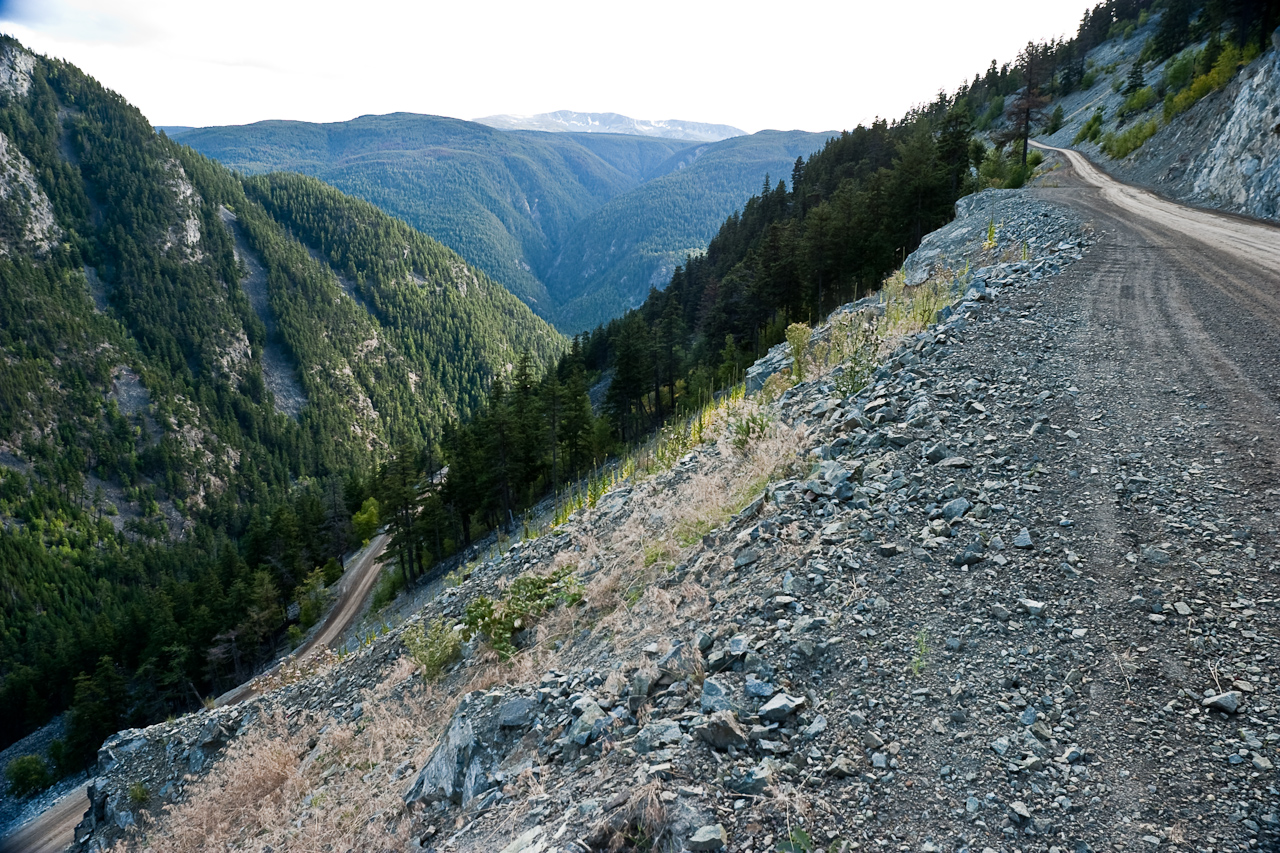
 The Top of the Hill (photo by Joseph N. Hall)
| tsegwutt'a | tse•gwut•t'a | ᙤᐟᗒᐪᗧ | N | The Precipice |
The extremely steep, narrow, winding section of Highway 20 West of Heckman Pass.
Etymology: ‟rock beneath knees” because it is so steep that if you look beneath your knees you see the slope.
The Top of the Hill (photo by Joseph N. Hall)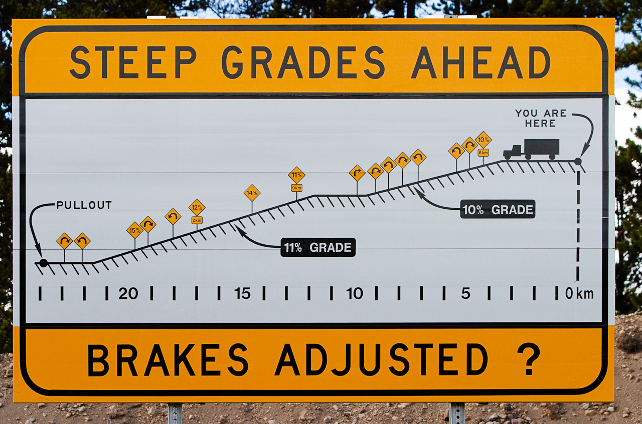 Sign at Top of the Hill (photo by Joseph N. Hall)
 Latitude: 52°31′56″N Longitude: 125° 47' 57'' W 
Related Words: Land, Landforms, Rocks and Soils Places
 |
 |  |
vivcah |